
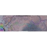
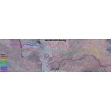
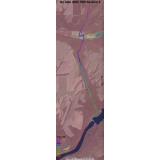
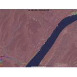
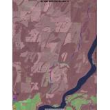
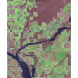
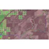
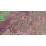
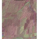
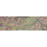
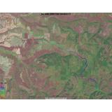
No Alibi 2005 Satellite Image Maps
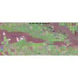
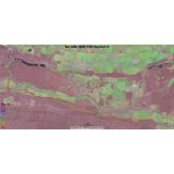
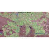
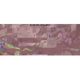
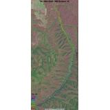
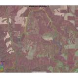
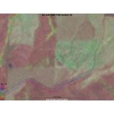
GPS data collected on checkout was used to plot the course on these aerial images. The overview maps show all sections, each section is indicated with a different line color. The section maps each show one section and the line color indicates the elevation. Scales vary.
Back to No Alibi 2005 | Next Page
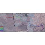
Saturday Morning Overview |
Saturday Afternoon Overview |
|
Sunday Overview |
|
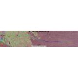
Transit Section 1 |

TSD Section 2 |

Transit Section 3 |
TSD Section 4 |
|

Transit Section 5 |
TSD Section 6 |
Transit Section 7 |
TSD Section 8 |
|
Transit Section 9 |
Transit Section 10 |
TSD Section 11 |
Transit Section 12 |
|
TSD Section 13 |
Transit Section 14 |
TSD Section 15 |
Transit Section 16 |
|
TSD Section 17 |
Transit Section 18 |
TSD Section 19 |
Transit Section 20 |
Click the thumbnail to see the full image.