
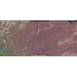
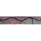
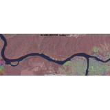
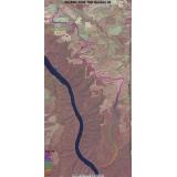
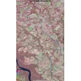
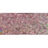
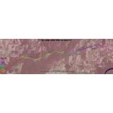
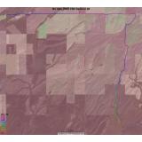
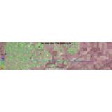
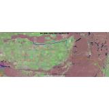
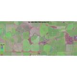
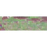
No Alibi 2005 Satellite Image Maps
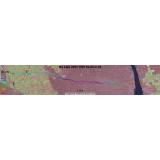
GPS data collected on checkout was used to plot the course on these aerial images. The overview maps show all sections, each section is indicated with a different line color. The section maps each show one section and the line color indicates the elevation. Scales vary.
Back to No Alibi 2005 | Previous Page
TSD Section 21 |
Transit Section 22 |
Transit Section 23 |
TSD Section 24 |
Transit Section 25 |
TSD Section 26 |
Transit Section 27 |
TSD Section 28 |
Transit Section 29 |
TSD Section 30 |
Transit Section 31 |
TSD Section 32 |
Transit Section 33 |
Click the thumbnail to see the full image.